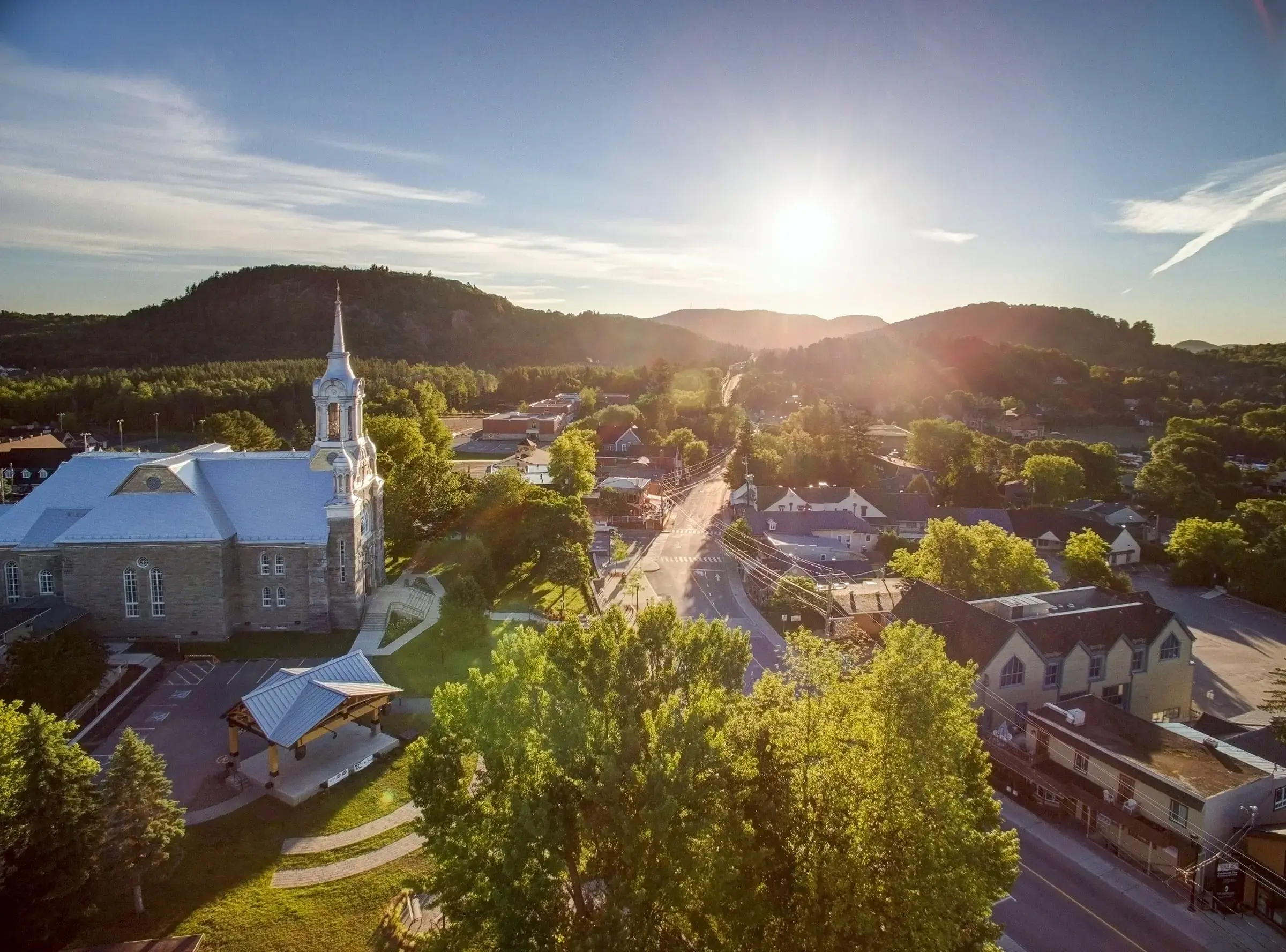
Saint-Sauveur
15 min drive
This town serves as a common gateway to the region, featuring dining and local shops that pair well with a morning arrival.

The Laurentian Mountains form a defining arc across southern Quebec, shaping the landscape and climate of Canada's second-most populous province. For visitors planning a mountain escape from Montreal or Quebec City, understanding the range's geography means knowing which towns serve as gateways and how the terrain shifts from south to north.
Quick answer
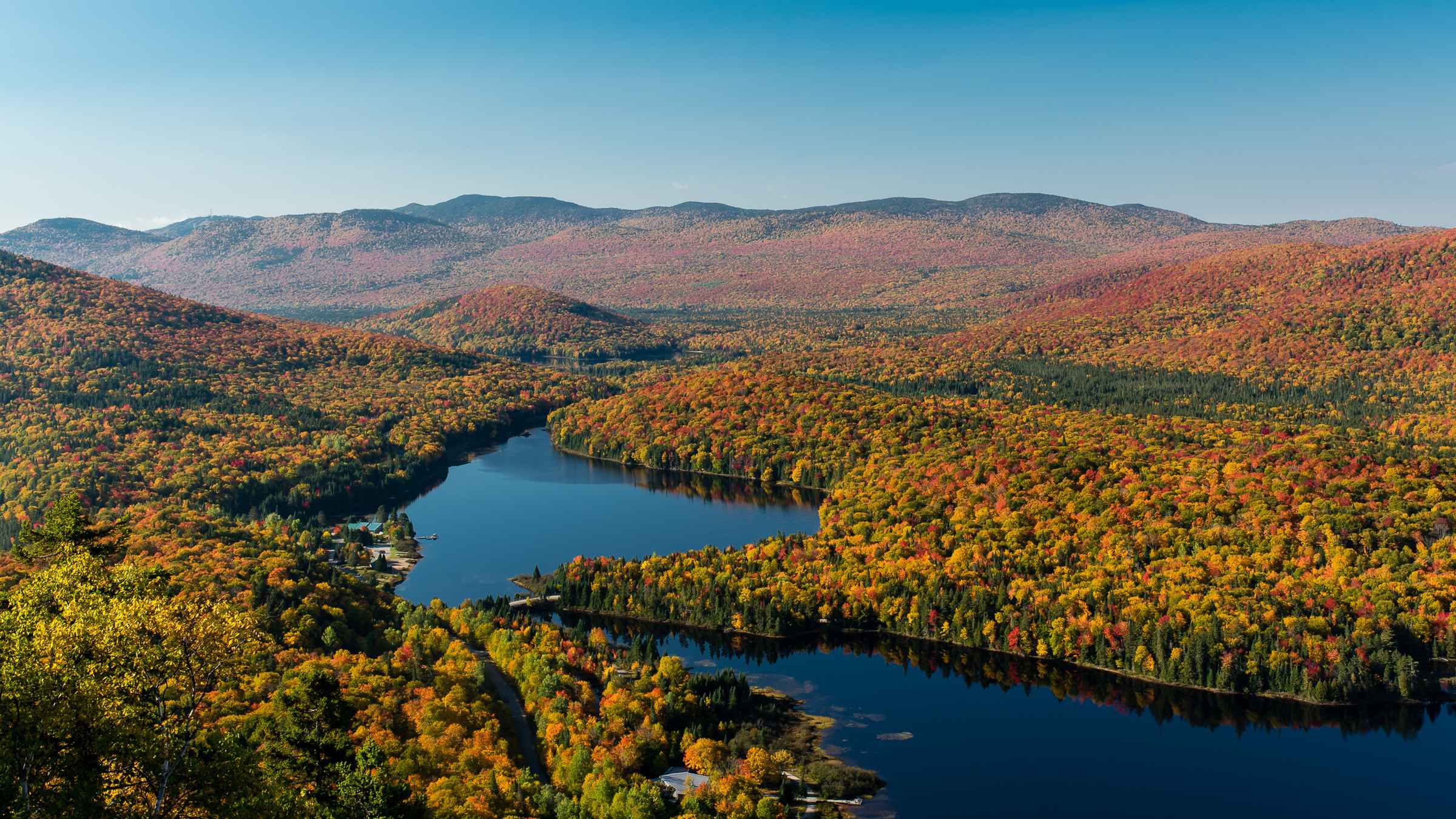
The Laurentian Mountains are located in southern Quebec, Canada, stretching roughly 500 kilometers from the Ottawa River valley northwest to the Saguenay River region. The range begins approximately 60 kilometers north of Montreal and extends through the Laurentides administrative region, bounded by the St. Lawrence Lowlands to the south and the Canadian Shield plateau to the north. Most visitor infrastructure concentrates in the southern Laurentides between Saint-Sauveur and Mont-Tremblant.
The Canadian Shield—the ancient geological foundation underlying half of Canada—breaks the surface in southern Quebec as the Laurentian Mountains. This worn range, among the oldest mountain systems on Earth, rises gradually from the St. Lawrence River valley and forms a natural barrier between the lowlands and the boreal wilderness beyond. Where are the Laurentian Mountains located within Quebec's geography? The southern edge sits just beyond Montreal's northern suburbs, with the first significant peaks appearing near Saint-Sauveur and Sainte-Adèle. From there, the range fans northwest through a corridor of resort towns, provincial parks, and working forests. Mont-Tremblant, the region's highest summit at 968 meters, anchors the northern extent of the heavily visited zone. Beyond Tremblant, the mountains continue as lower, forested ridges toward the Saguenay, but population density and visitor services thin considerably. The Laurentides administrative region—named for the mountains—covers much of this terrain, though the geological range extends beyond administrative boundaries. Autoroute 15 and Route 117 serve as the primary north-south arteries, threading through valleys carved by ancient glaciers. These highways connect Montreal to a constellation of villages originally founded as logging camps and now sustained by year-round tourism. The Ottawa River forms the western boundary, while the terrain slopes eastward toward the Mauricie region and eventually the provincial capital. Visitors asking where the Laurentian mountain range is positioned relative to major cities should note the 90-minute drive from downtown Montreal to Mont-Tremblant, with closer peaks like Mont-Saint-Sauveur reachable in under an hour. Quebec City sits farther east, requiring a longer approach through the Mauricie or a lateral route across the shield. The mountains' accessibility from Montreal explains their role as the province's primary four-season playground, drawing skiers in winter and hikers when the hardwood forests turn in autumn. The southern slopes, warmed by their orientation and proximity to the St. Lawrence valley, support sugar maples and recreational lakes absent from the colder northern reaches.
“The Canadian Shield breaks the surface in southern Quebec as the Laurentian Mountains, among the oldest mountain systems on Earth.”
The Laurentian Mountains are located in southern Quebec, Canada, situated north of Montreal. The most direct approach from the city is via the regional highway network.
Autoroute 15 North
Autobus Galland from Gare d'autocars de Montréal
Travelers driving from Montreal should utilize Autoroute 15 North to access the heart of the region. Please consult the booking widget below to explore transportation options for your trip.
The best time to visit the Laurentian Mountains is during the morning hours, specifically between 09:30 and 11:00. Arriving during this window helps ensure parking availability and allows visitors to experience the region before peak daily crowds arrive.
—
Quiet conditions provide the most accessible environment for planning activities.
Cool, 5°C to 15°C
This period features fall foliage, though visitor traffic increases significantly.
Cold, -15°C to -5°C
Winter sports create localized congestion near ski areas and resort zones.
Warm, 15°C to 25°C
Summer months attract the largest number of visitors to outdoor trail networks.
Verdict: For the most accessible experience, aim for a weekday arrival between 09:30 and 11:00 during the months of April or October.
The Laurentian Mountains region maintains consistent operating hours throughout the week with extended availability on Friday evenings.
The Laurentian Mountains are situated north of Montreal, making them an accessible base for exploring surrounding towns and nature reserves. These locations complement a day trip by offering varied landscapes and local cultural experiences within a short driving distance.
15 min drive
This town serves as a common gateway to the region, featuring dining and local shops that pair well with a morning arrival.
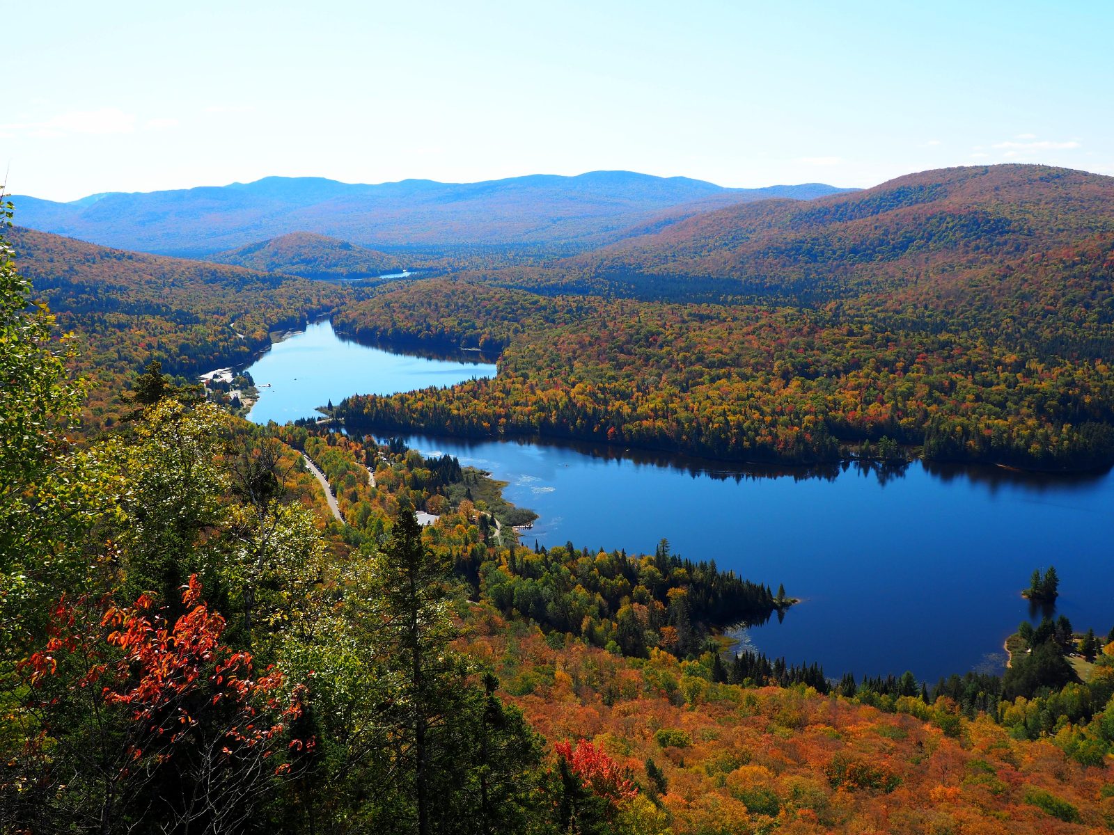
45 min drive
This park provides extensive hiking and water activities for those wishing to extend their nature excursion beyond the immediate mountain area.
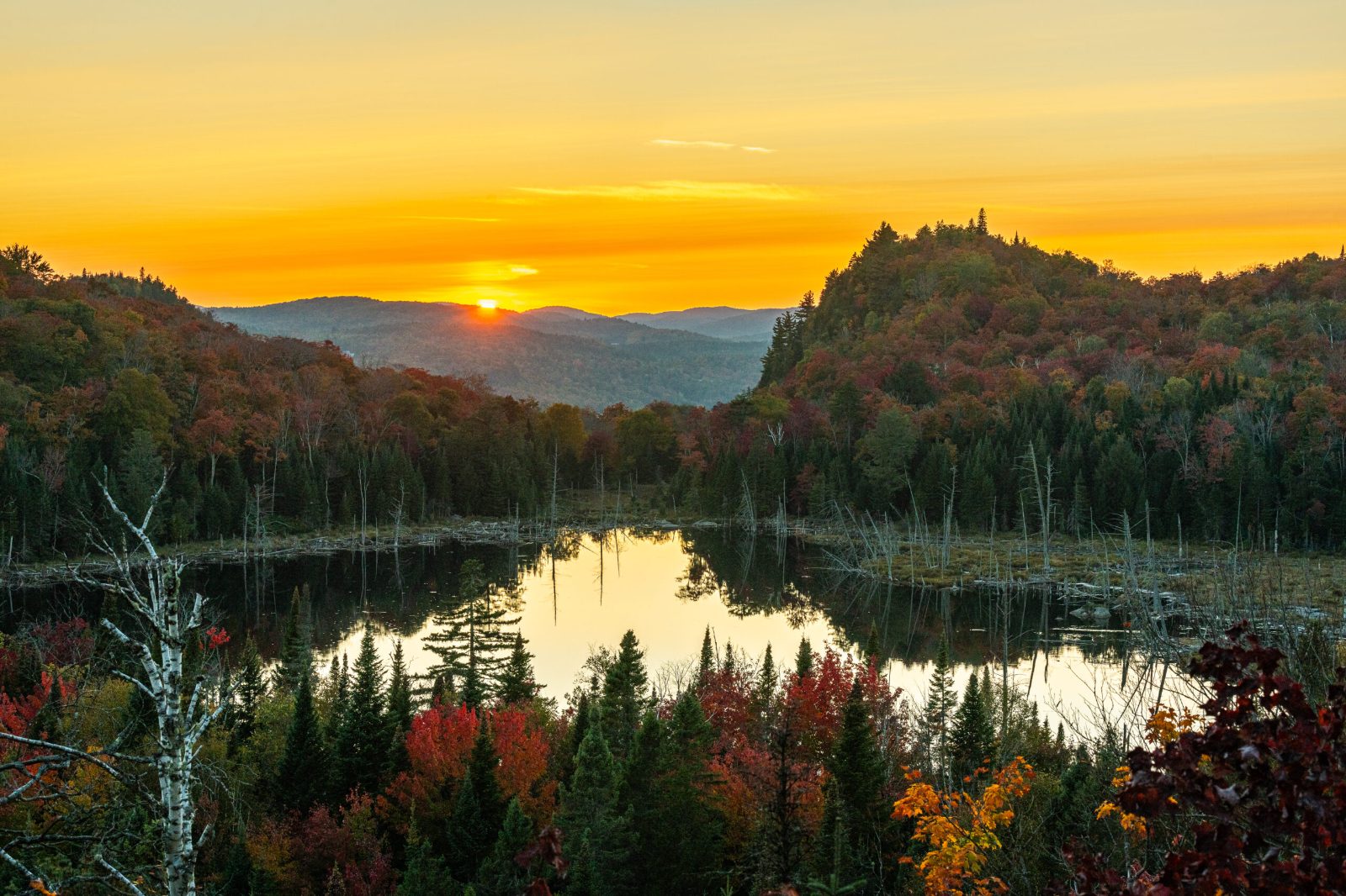
20 min drive
Known for its artistic community and climbing sites, this area offers a quieter atmosphere that balances a busy day of sightseeing.
Everything you need to know about where are the laurentian mountains located
The Laurentian Mountains are located in the province of Quebec, Canada, stretching north of the St. Lawrence River. This historic range forms part of the Canadian Shield, a vast area of ancient geological formations. Visitors often ask where are the Laurentian Mountains located to plan their travel route effectively from nearby metropolitan hubs. Knowing where are the Laurentian Mountains located helps travelers prepare for the distinct terrain of this northern destination.
Accessing the region from Montreal is a common journey for those researching where are the Laurentian Mountains located. Travelers typically drive north via Highway 15 or Highway 117 to reach the primary villages and natural sites. Detailed transportation information is available in our dedicated getting-there section.
A daily conservation fee of 10.3 CAD per adult is required for entry to protected areas. This fee supports the maintenance of trails and visitor facilities throughout the mountain range. Please refer to our pricing section for further administrative details.
We recommend arriving between 09:30 and 11:00 to avoid crowds and ensure parking availability. This window allows for a smoother start to your excursion in the mountains. Additional strategies for avoiding peak traffic times are provided in our best-time section.
The area is open daily, with operating hours from 09:30 to 19:30 Monday through Thursday and Sunday, and until 20:00 on Friday. You can explore the landscape throughout the week during these consistent hours. Please consult our opening hours section for specific daily schedules.
Navigating the region is manageable with proper planning, as many key points of interest are accessible by car. Understanding where are the Laurentian Mountains located relative to major roads ensures a stress-free experience. Our planning tools can assist with your logistics.
The Laurentian Mountains cover an extensive area of southern Quebec, characterized by rolling hills, numerous lakes, and dense boreal forests. These physical features define the character of the region for hikers and nature enthusiasts alike. The rugged topography makes this a significant landmark within the Canadian Shield.